Rifugio Tosa Pedrotti, because of its central location in the Brenta Dolomites, can be reached via different trails:
DIRECTIONS
THERE ARE MANY WAYS TO GET CLOSER BUT ONLY ONE WAY TO GET HERE: ON FOOT.
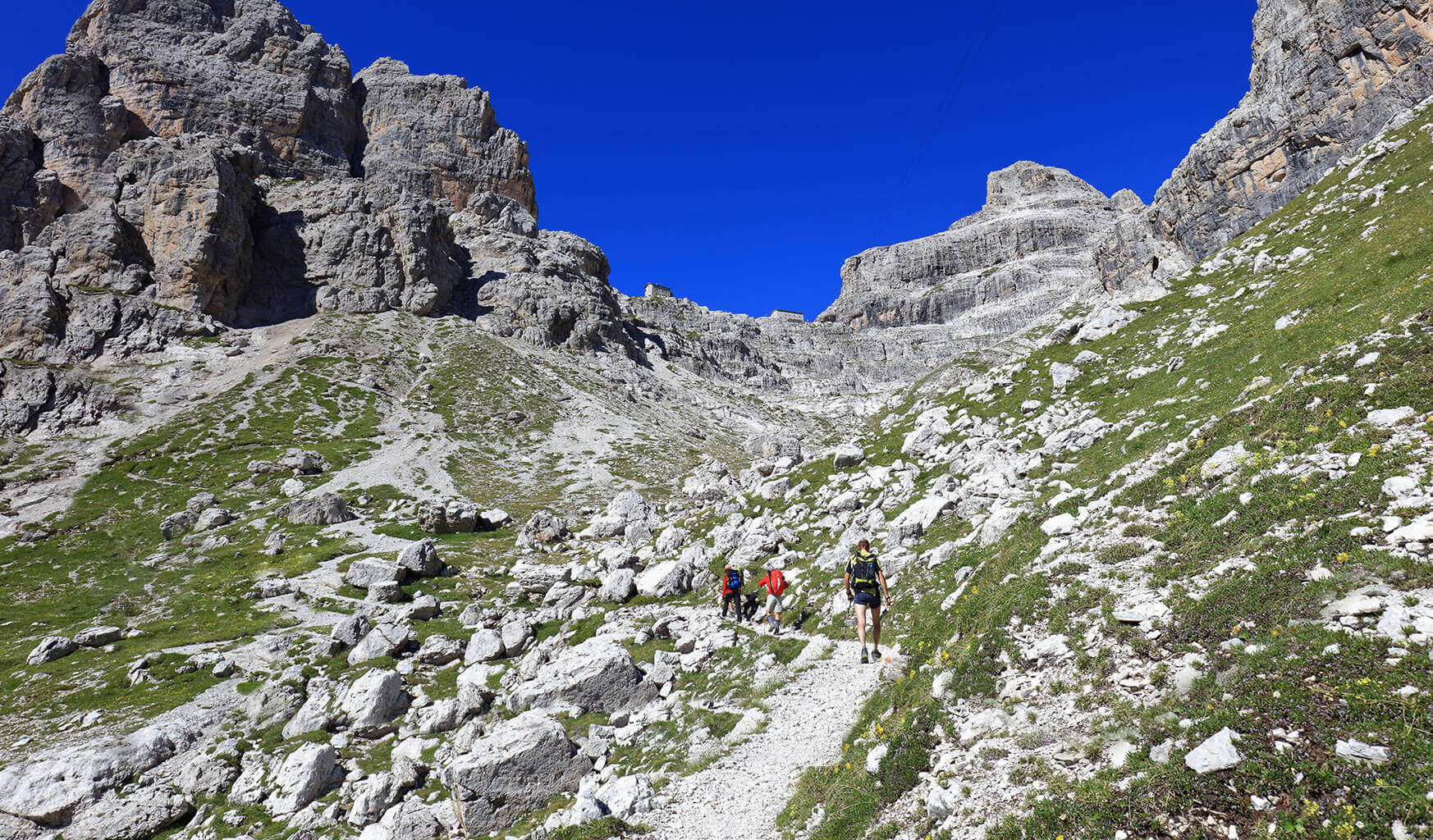
TRAILS
FROM MOLVENO - VIA VAL DELLE SEGHE
/ Trail n. 319 / approx. 4,30 hours
From Molveno sporting centre follow the road heading towards Bar Ciclamino. From there take the dirt road to Rifugio Croz dell’Altissimo and, after a 40 minutes walk, you will reach a crossroad (altitude 1.324 m.). Choose the trail on the left winding through the forest and, after a series of hairpin bends, you will reach Rifugio Selvata (altitude 1.630 m.).
From Rifugio Selvata take the trail n. 319 that passes beneath Cima delle Fontane Fredde, crossing a little stream named Acqua della Dosola and then through a grass land where the ruins of the ancient Baito dei Massodi (1.994 m.) are still on display. The trail will then reach Rifugio Tosa first and Rifugio Pedrotti later (approx 2,30 hours).
FROM RIFUGIO SELVATA
From Rifugio Selvata take the trail n. 319 that passes beneath Cima delle Fontane Fredde, crossing a little stream named Acqua della Dosola and then through a grass land where the ruins of the ancient Baito dei Massodi (1.994 m.) are still on display. The trail will then reach Rifugio Tosa first and Rifugio Pedrotti later (approx 2,30 hours).
FROM MOLVENO/PRADEL - VIA VAL DEI MASSODI
/ Trail n. 340 / approx. 3,30 hours
From Rifugio al Pradel (altitude 1.367 m.) take the easy path that passes beneath Croz dell’Altissimo walls and reaches Rifugio Croz dell’Altissimo (altitude 1.430 m.). Cross the rocky stream and head up to the left towards the woods towards Rifugio Selvata (m.1.630). From there follow take the trail n. 319 that passes beneath Cima delle Fontane Fredde, crossing a little stream named Acqua della Dosola and then through a grass land where the ruins of the ancient Baito dei Massodi (1.994 m.) are still on display. The trail will then reach Rifugio Tosa first and Rifugio Pedrotti later (approx 2,30 hours).
FROM MOLVENO - VIA VAL DI CEDA
Steep and demanding trail.
Following the western side of the lake you will reach Fortini di Napoleone location (approx 30 min.).
An unpaved road will take you to Rifugio Malga d’Andalo and a few hundred meters later you will find the beginning of the trail n. 326 “Val di Ceda”. This steep path in the woods will take you to the ruins of Malga Ceda Bassa at 1.434 m. (approx 2,30 hours).
The path continues on the woods’ right onto a steep pebbly trail until reaching Malga Ceda Alta’s remains (altitude 1.815 m.). Following the red marks along the trail (not very frequent) you will reach Ceda’s Pass (altitude 2.223 m.).
Looking out on Pozza Tramontana first, you will then follow the trail on the right climbing on the landsliding slopes of Monte Daino until almost reaching Croz del Rifugio’s base, before continuing towards Rifugio Tosa Pedrotti (approx 5 hours).
FROM MADONNA DI CAMPIGLIO - VIA RIFUGIO VALESINELLA, RIFUGIO BRENTEI AND BOCCA DI BRENTA
/ Approx. 3,15 hours
From Rifugio Valesinella (altitude 1.513 m.) follow the trail heading towards Rifugio Casinei (1.825 m., approx 0,45 hours). The same trail leads to Rifugio Brentei. From there follow a path with a gentle incline that runs on the side of Alta Val Brenta, cutting through the scree of Campanile Alto and Basso. The trail departs from a snowy basin and continues along a rocky area located on the right of the rocky gully reaching Bocca di Brenta (altitude 2.552 m.) after a short snowy stretch. From Bocca di Brenta the trail descends on the eastern face following a rocky ledge on the right, leading to Rifugio Pedrotti.
FROM MADONNA DI CAMPIGLIO - VIA GROSTE’ GONDOLA
Departing from Madonna di Campiglio, a comfortable alternative route uses the cableway to reach Grostè pass. From there, an easy path leads to Rifugio Tuckett. From Rifugio Tuckett you can reach Rifugio Pedrotti via different alternative routes, the shortest is the one leading to Rifugio Brentei first and then, via Bocca di Brenta reaches Rifugio Pedrotti. (approx. 3,30/4 hours from Grostè pass).
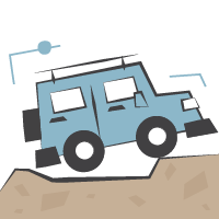
IF YOU ARE IN MOLVENO AND FEEL LIKE CUTTING ON SOME ELEVATION GAIN
you can take the taxi-jeep
-> PLAN AHEAD
The cost of the transfer from Molveno to Rifugio Croz dell’Altissimo is 13 euros per person (€20 round trip), car parking in Molveno included.
The car park is located at the entrance of Val delle Seghe, close to Molveno’s sporting centre. The Taxi-jeep service operates, on request, everyday. Just book it via phone calling +39 347 9517713 or +39 388 8256013 and/or check the website: www.taxijeep.it
-> VERIFICA
FOR ANY INFO...
CONTACT US

